Looking for summer
The plan was not complicated. In the middle of July the forecast for Rosendal, at the head of the Hardangerfjord, said 26 °C. The forecast for Fedje, out on the open coast, said 16 °C and a great deal of wind. Ten degrees is a long way to move a boat for, and we moved it.
Getting there was the bill for it. From Bergens Seilforening the wind came out of the south — straight up the fjord and straight onto the nose, the whole way down to Rosendal. A boat cannot sail where the wind is coming from, and the warm end of a Norwegian fjord in July is very often exactly there.
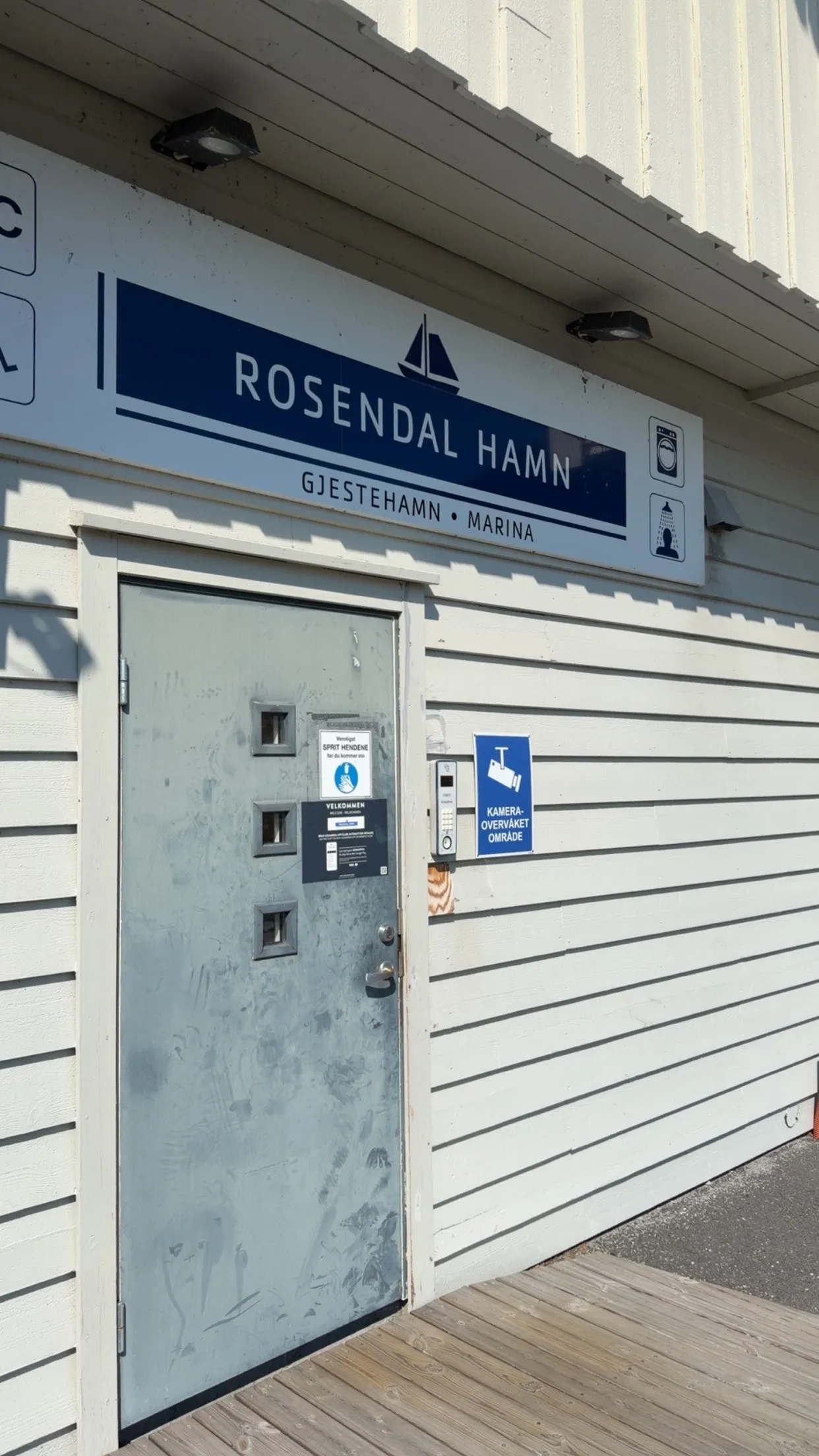
There was a second reason for the timing, and every sailor on this coast knows it: berths. A guest quay in July is full by mid-afternoon, and arriving late means taking whatever is left, or lying somewhere you would rather not. So we left on a Thursday, on the theory that midweek would be quieter than a weekend.
We were wrong. We came in at about three and the quay was already solid — so we asked, nicely, whether we might lie outside a Swedish sailboat: a sixty-five-foot classic, and a genuinely beautiful thing to be rafted to.
The boat we rafted to
Which turned out to be the best decision of the day, because of the boxes.
There were two or three of them on her afterdeck, under white covers, and we spent a while wondering what a boat that size carries lashed down aft. Winch handles? Sail bags? A tender?
Then, in the early evening, the crew came up and took the covers off — and unfolded a majestic teak table, laid it properly, and sat down to a very fine dinner in the cockpit of a classic yacht in a Norwegian harbour on a July evening. We watched this from three metres away with the unmistakable feeling of having brought the wrong equipment. It looked extremely cool. It still does.
What follows is the way home: five days, four harbours, sixty-five miles north, and two of the best days on the water this boat has had.
The shape of the week
Four legs, four harbours, and a great deal of sitting still in between. Every figure below is what Enja recorded herself; nothing here is remembered.
| Date | Leg | Distance | Underway | Avg | Max |
|---|---|---|---|---|---|
| 11 July | Rosendal → Husnes Båthavn | 11.4 nm | 1 h 36 | 7.1 kn | 8.9 kn |
| 13 July | Husnes Båthavn → Leirvik | 11.0 nm | 1 h 34 | 7.1 kn | 8.7 kn |
| 14 July | Leirvik → Fitjar | 20.5 nm | 3 h 03 | 6.7 kn | 8.7 kn |
| 15 July | Fitjar → Bergen | 22.1 nm | 3 h 05 | 7.2 kn | 9.1 kn |
| Total | 65.0 nm | 9 h 18 |
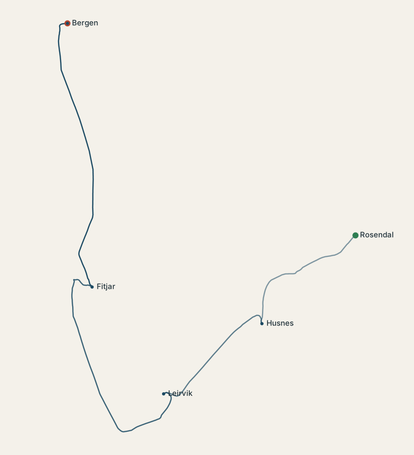
Nine and a quarter hours of movement spread across five days. The rest — 114 hours of it — was spent alongside, which is a ratio that will surprise nobody who has taken a boat on holiday rather than on a delivery.
Two cloudless days, and a morning with no horizon
This is the part the numbers missed entirely and the photographs give away in one glance.
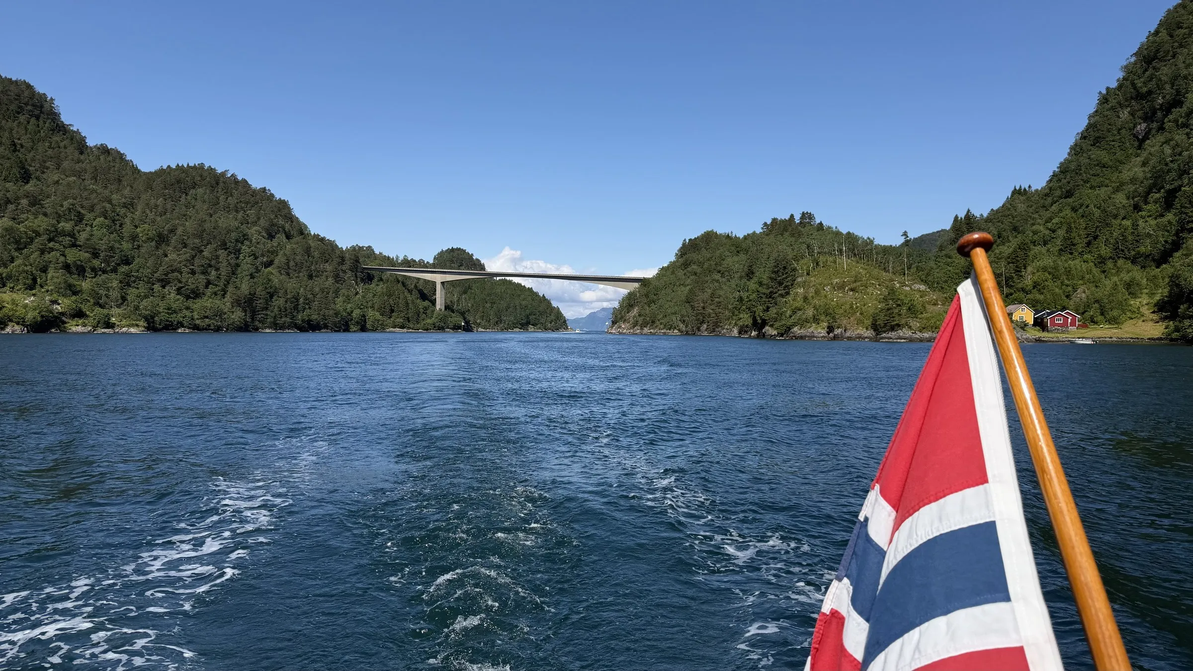
The 13th and the 14th were cloudless — blue sky, flat water, islands standing out sharp astern, and the kind of day that is the entire reason for going ten degrees up a fjord to find it.
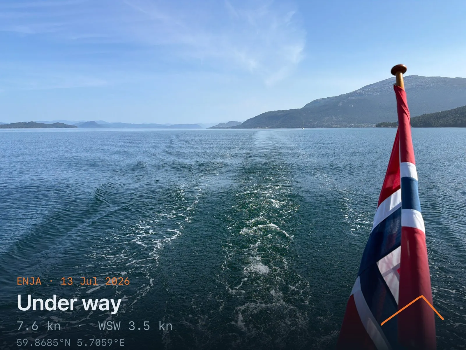
13 July, Hardangerfjorden astern, 7.6 knots. Photographed and captioned aboard as simply "hardangerfjorden".
Then the last morning arrived and took the horizon away — and turned out to be an experience of its own.
Three hours of flat grey water with the plotter and the AIS doing the looking. It is a strange way to arrive somewhere familiar, and it asks rather more of the crew than a clear day does — which is why, tied up afterwards, it was the most interesting part of the week rather than the worst of it.
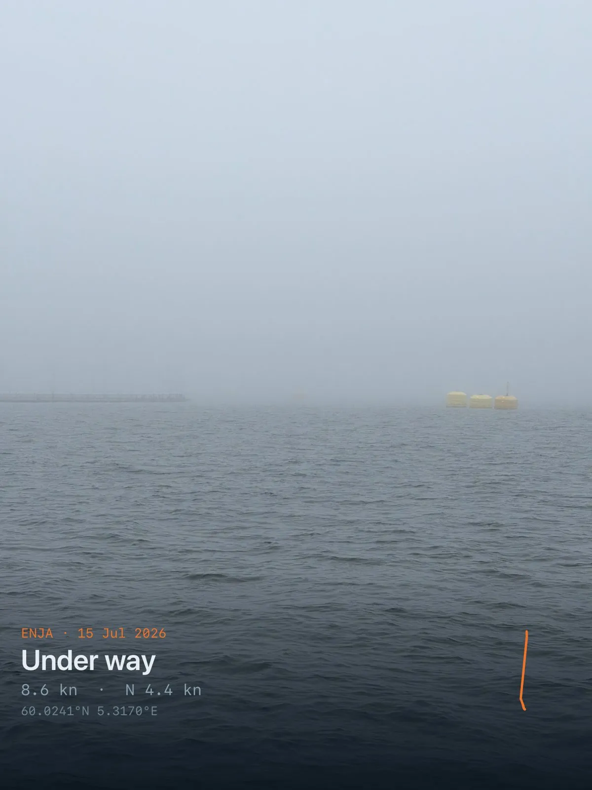
Also 15 July, at 8.6 knots. No horizon and no shore — and one yellow shape out to starboard, close enough to make out and far too vague to identify, which is the entire experience of the morning in a single frame.
Enja measures wind, depth, heel, speed, battery and every AIS contact within her aerial's horizon. She has no idea whether she can see. Visibility is nowhere in this logbook — so the two days of sunshine and the fog on the way into Bergen are indistinguishable in every table above, and the 585 vessels she heard on that last leg were, for the crew, mostly noises rather than boats.
She made 9.1 knots over the ground later that same morning, in that. A quiet, entirely comfortable way to cover the last twenty-two miles, in the least ordinary conditions of the week — and the reason the boat's own instruments are only ever half the log.
Four harbours, and one honest review
| Harbour | Alongside | Vessels heard while there |
|---|---|---|
| Rosendal | 29 h | 21 |
| Husnes Båthavn | 45 h | 34 |
| Leirvik | 22 h | 66 |
| Fitjar | 18 h | 24 |
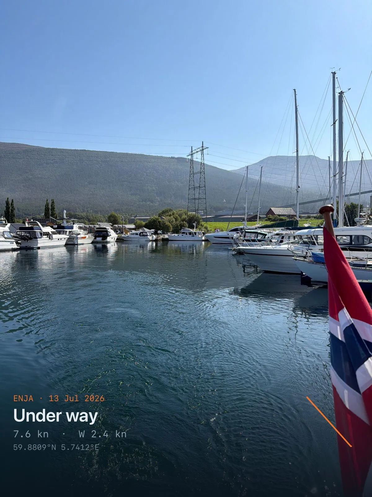
Husnes Båthavn, the morning of the 13th. Forty-five hours alongside — the longest stop of the week, and the only one that felt like a holiday rather than a passage.
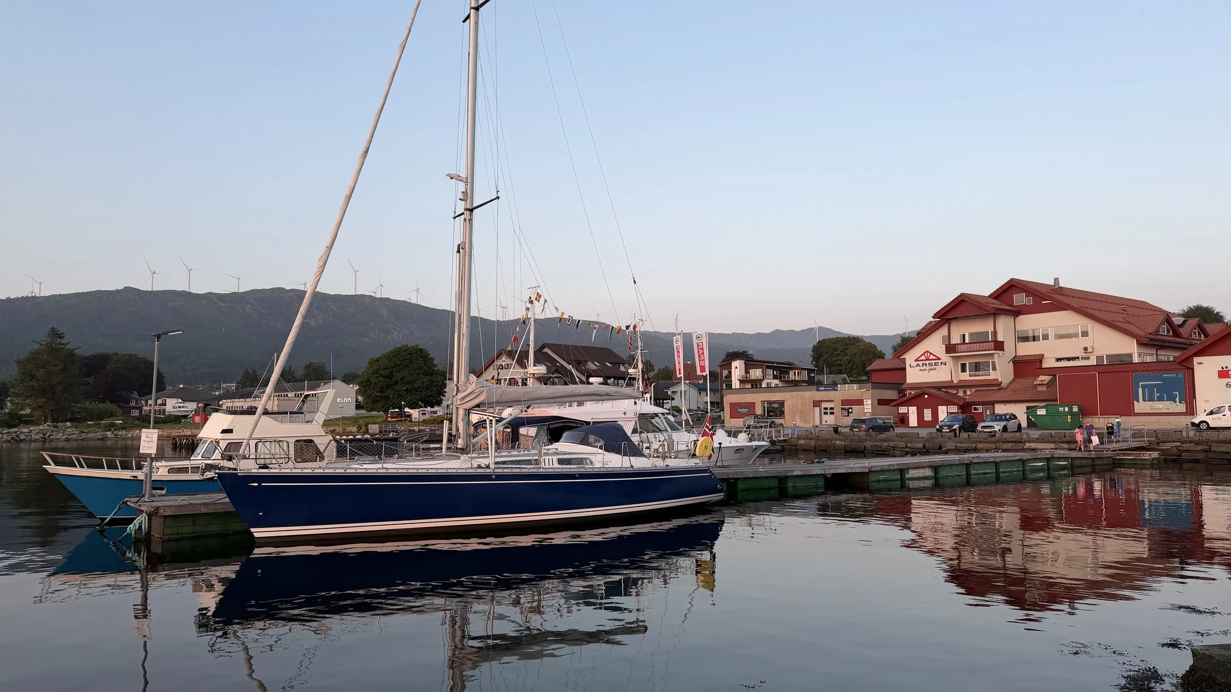
Only one of the four got written up at the time, and it is the most useful thing in this entire post, because it is the only part a sensor could not have produced. Leirvik, 14 July, from Leif Terje's harbour note — 4 out of 5 overall, berth 5, facilities 4, ashore 4, room 3:
Sunny. Busy — rafted alongside another sailboat.
We were lucky to have another sailboat to raft to. A bit noisy with a big fishing vessel in the harbour, and lots of motorboats.
Sixty-six vessels heard on AIS during those 22 hours, against 21 at Rosendal. The instruments and the crew agree that Leirvik was busy, which is a nice piece of corroboration — but "we were lucky to have another sailboat to raft to" is not a figure Enja can record, and it is the sentence you would actually want next year.
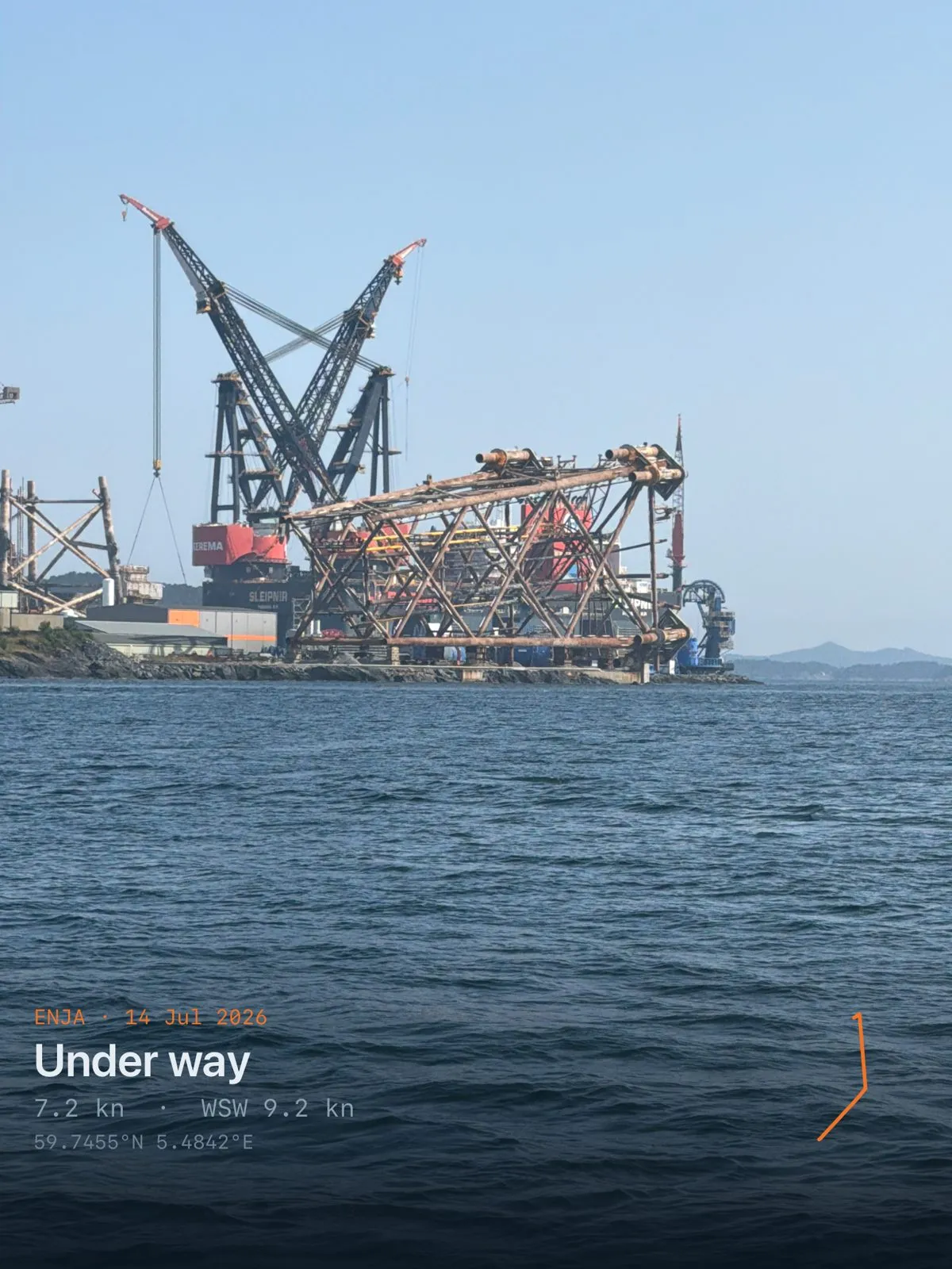
Leaving Leirvik on the 14th, doing 7.2 knots past the yard. This is why the harbour sounded the way the note says it did: Leirvik is a working industrial port that happens to have a visitors' pontoon in it.
Bergen arrives loudly
The AIS count climbs the whole way north: 105 vessels heard on the first leg, then 90, then 451, then 585 on the run into Bergen. Vessels actually underway: 8, 12, 22, 26.
The closest points of approach were 0.03, 0.02, 0.01 and 0.01 nautical miles — eighteen metres on the last two days. Before anyone reads that as four near-misses, note that a CPA is computed against everything heard, including boats tied up as you motor past them at three knots in a harbour approach. It is a proximity figure, not a fright.
Departure on the last morning was 07:17, arrival in Bergen 10:22. Night hours across the whole week: zero. It is July at 60° north; there is nothing to have hours of.
Wind on the nose, or none at all
Which brings us to the engine, because an honest log does not get to leave it out:
97%, 100%, 99%, 100%.
That is the estimated share of each leg made under power. Enja has no engine sensor on the bus, so she infers motoring rather than measuring it, and the rule she uses asks the only question that separates an engine from a sail: could this wind possibly produce this speed? Six knots of wind cannot push nine tonnes at eight knots, and a boat driven by her sails leans over. She leaned over 0.4°, 0.7°, 0.7° and 0.9° RMS across the four legs. That is not a boat sailing.
The photographs agree, and rather more plainly: wherever the boom is in shot that week, the mainsail is flaked along it and tied.
The wind is the whole explanation, and it is the same wind that made the trip worth taking. The median true wind angle was 38°, 22°, 19° and 29° — every leg spent with the wind inside or barely outside the angle Enja cannot sail — and on three of the four days there was not much of it anyway, 9.1, 12.4 and 8.3 knots at the maximum. That is what the forecast promised when it offered 26 degrees at the head of a fjord: warmth, and no wind to speak of, and what there was of it on the nose. We went for the weather rather than for the sailing, and we got the weather.
One reading is worth flagging rather than boasting about: the 11 July leg records a maximum true wind of 35.7 knots from the WNW. On a leg where the boat never heeled past 1.8° and averaged 7.1 knots under engine, that is far more likely to be an anemometer spike than a gale — the kind of outlier a maximum will happily preserve forever. Treat it as suspect.
Twice she went faster than she is supposed to
The logbook's motoring rule uses a hull speed of 8.2 knots for a Comfortina 42 — 1.34 × √LWL, the number no displacement hull is meant to beat.
She hit 8.9 knots on the first leg and 9.1 knots on the last.
Nothing mysterious: this is the Norwegian west coast, the tide runs hard through these sounds, and a boat doing 7 knots through the water over a 2-knot favourable stream will show 9 over the ground. It is worth writing down anyway, because it is the kind of figure that later looks like a sensor fault when it is really just geography.
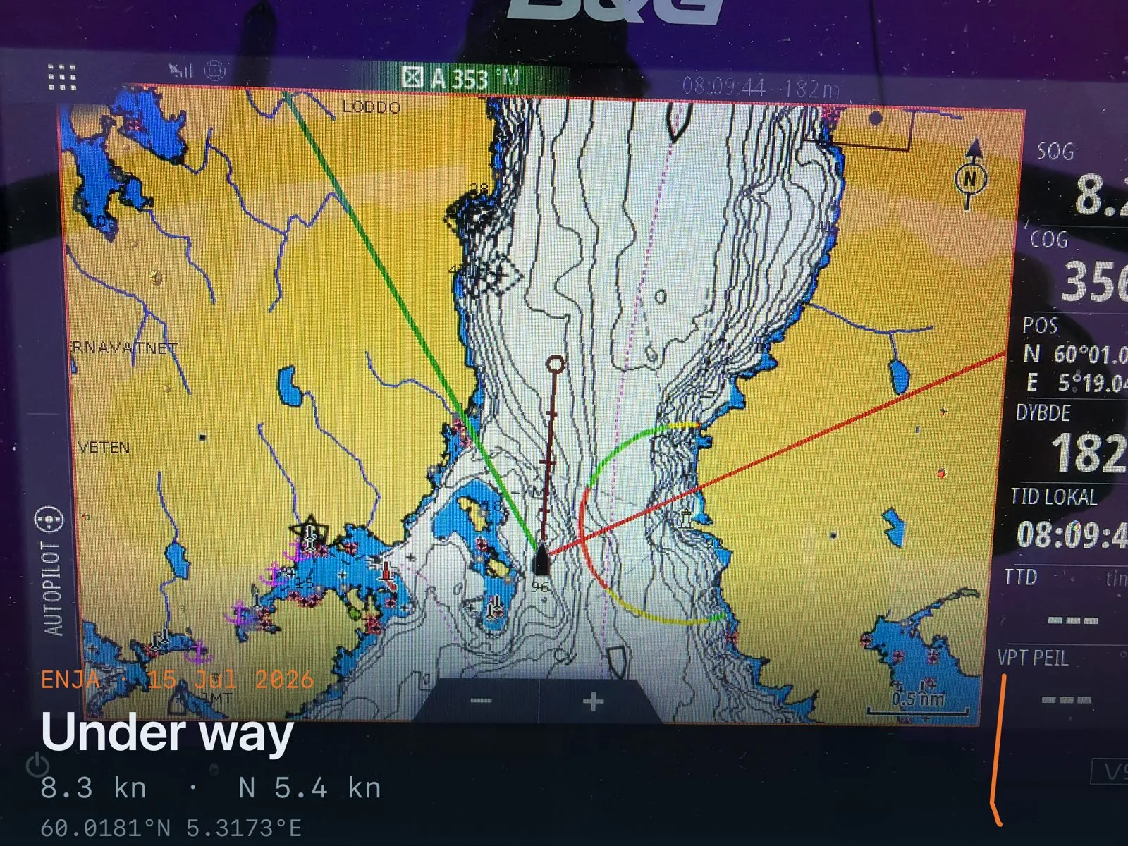
Caught on the way in to Bergen at 08:09: SOG 8.2 — hull speed exactly, on the nose, with 182 metres of water under her, a course over ground of 356° and the autopilot holding 353° magnetic. Nobody staged this photograph; it is simply what the plotter said.
Two instruments that were talking nonsense
An honest log says what it does not know.
The water temperature sensor is wrong. It reported between 30.1 °C and 39.7 °C over the week. The Hardangerfjord in July is somewhere in the mid-teens. Every reading is flagged suspect in the logbook and none of it reached a page — see docs/TODO-water-temperature.md. A sensor that confidently reports body temperature for seawater is not a small calibration error; it is a sensor reporting something other than what we think it is.
The depth readings have no agreed zero. The shallowest water of the week was 3.09 m on the run to Leirvik — but 3.09 m below the transducer, and nobody has measured how far the transducer sits below the waterline. Every leg carries a depth_reference_unknown quality flag for exactly this reason. With a 2.15 m draft, the difference between "below the transducer" and "below the surface" is the difference between comfortable and aground, so the log refuses to convert one into the other until somebody goes and measures it with a tape.
Nothing ran aground; no shallow-water events were recorded on any leg. But the boat is right to keep saying she does not know.
The quiet win
Battery state of charge at the end of each day: 99%, 99%, 97%, 96%, from 100% each morning, with the lowest voltage of the week at 12.8 V. Enja fed her instruments, her plotter, her autopilot — which steered 72%, 72%, 65% and 85% of the four legs — and her recorder for five days without ever looking like she might not.
That is not an accident, and it is the least dramatic sentence in this post. It is also the one that matters most on a longer trip than this one.
Where the pictures came from
Thirty-four photographs were taken over four days — one on the 12th, seven on the 13th, thirteen each on the 14th and 15th — and they live on Enja's own SSD under /mnt/ssd/voyage-log/photos/, filed by the day the shutter fired rather than by voyage, because the voyage id does not exist until the logbook invents it afterwards.
Five of the pictures here come from that set, resized to 1600 px on the boat before being brought ashore over her LTE link; the full-size originals stay aboard, where they are the record. The "Under way / Alongside" plate burned into each corner is Enja's own, written at upload time from the position and speed she was recording at that second — which is why the 8.5 knots in a caption above can be trusted as much as the tables.
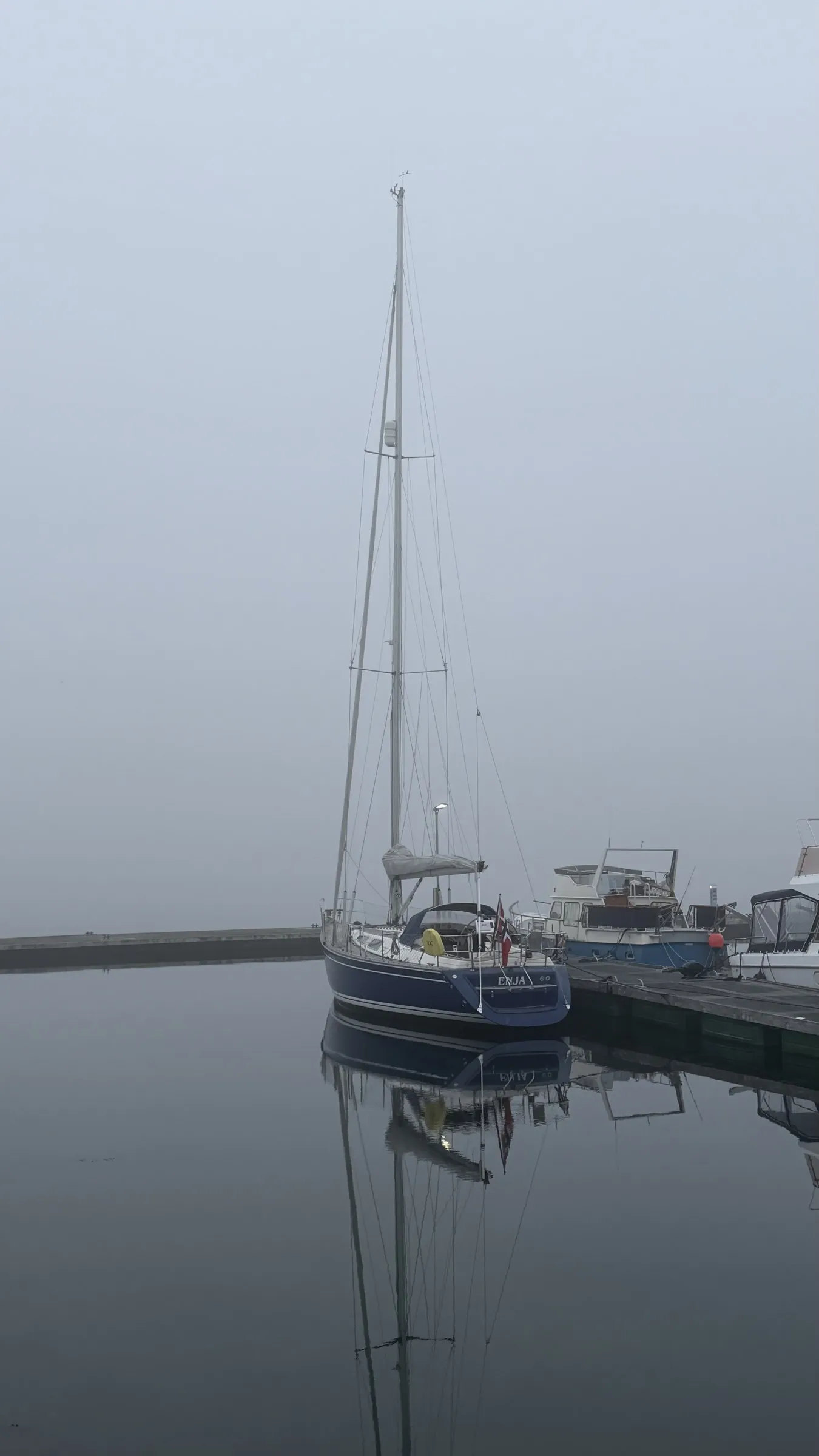
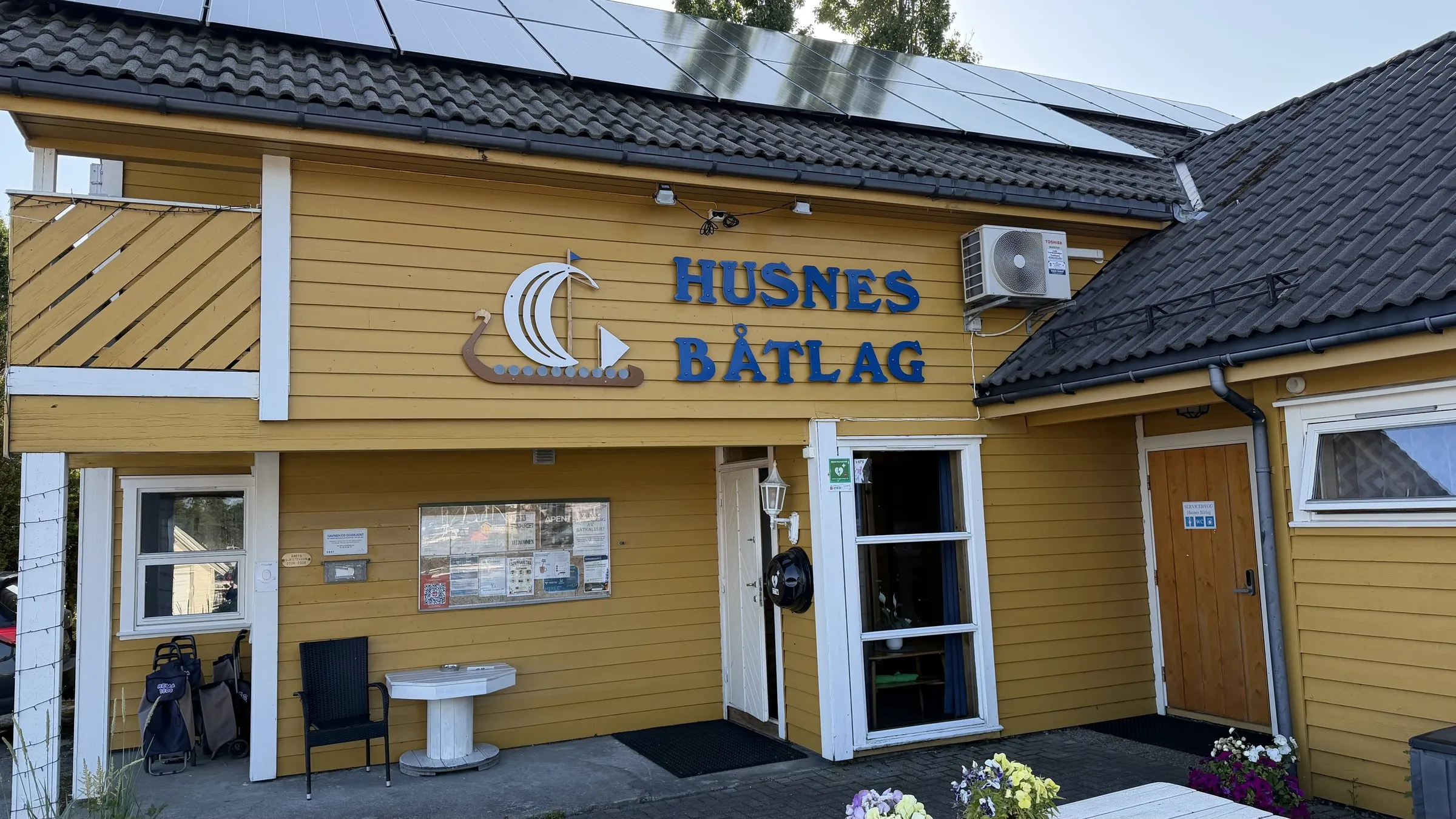
The other five are the crew's own phone photographs from the same holiday, added afterwards: Rosendal's harbour sign, the narrows in the sun, the Båtlag clubhouse, and Enja alongside twice — once in the evening and once in fog. They carry no stamp, which is exactly how you can tell the two sets apart at a glance, and two of them are from the days before this log starts. The pictures and the numbers are not the same kind of thing, and it is worth being able to see which is which.
The one photograph nobody took is the Swedish boat's teak table. We were too busy being impressed.
Every number above comes from ingest/logbook/data/ and the GPX in ingest/logbook/tracks/, recorded aboard between 10 and 15 July 2026. The track sketch is drawn from those 6,713 recorded fixes. The two suspect instruments are flagged as suspect in the log itself, which is the whole point of flagging them. The photographs are the crew's own.